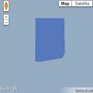
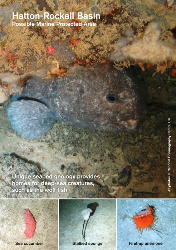
 The Hatton-Rockall Basin MPA is located in the far west of Scotland’s offshore waters. Rockall Bank lies to the east, Hatton Bank to the west, and George Bligh Bank to the north. At about 1.1km depth, this muddy basin hosts a range of animals adapted to living in the deep-sea. The seabed in this area is criss-crossed with unique examples of polygonal faults, an intriguing geological feature considered to be of scientific importance. [1]
The site is designated to protect unusual aggregations of deep-sea sponges – an OSPAR Threatened and/or Declining habitat. The MPA also includes protection for offshore deep-sea muds and a series of unique geological features known as polygonal faults. Polygonal faults are cracks in the seafloor, similar in appearance to those on a sun scorched desert.
Read our response to the 2013 site consultation:
Save Scottish Seas campaign members have assessed the Scottish Government’s MPA proposal for this site as part of its consultation response.LINK supports the designation of the Hatton-Rockall Basin possible Nature Conservation MPA for the protection of deep-sea sponge aggregations, offshore deep-sea muds and sediment drift and polygonal fault system geodiversity features The documents provide good evidence of the presence of some extremely important examples of features that require protection, but not very good evidence of their distribution. It is therefore difficult to comment on the exact boundaries of the site. However it is clear that the precautionary principle would demand some form of protection for this area.
We accept the conservation objective of ‘conserve – feature condition uncertain’. However, we note that selection guideline 2d was not considered to be met for the protected biodiversity features in this site as sensitivity analyses concluded that there is a risk that features have been modified by human activity.Management Options:
Management options for protected features of uncertain condition must be evidence-based, account for the known vulnerability of the protected features to human activities and make appropriate use of the precautionary principle.
The management options suggested (fishery closure) are appropriate and necessary to achieve conservation of the features. However, as the area lies outside the UK fishery limits and does not include Annex 1 Habitats it will be necessary to rely on NEAFC to introduce the measures necessary to enforce this closure. The reliability of this process remains to be tested.Socioeconomic Assessment:
The benefits of conserving deep sea biodiversity in an area of this degree of richness far outweigh the minimal and short lived benefits of trawling in such areas.The proposed MPA and suggested management measures are fully justified by the habitats and species known to be present. Further research is needed to clarify the type and extent of fishery in the area. Further surveys are needed to identify the full extent of sponge aggregations and to document their species richness, It is likely that the area will support a large number of as yet undescribed species.
Long-finned pilot whale and northern bottlenose whale are known to use this site and should be included in the management options and socioeconomic assessments.
Check out the official documents relating to the possible Hatton-Rockall Basin MPA on the Joint Nature Conservation Committee website.
[1] Hatton Rockall Basin MPA Site Summary Document, JNCC

